 Back to
equipement
Itinéraire Cyclo : La Mauriennaise
Saint-Michel-de-Maurienne

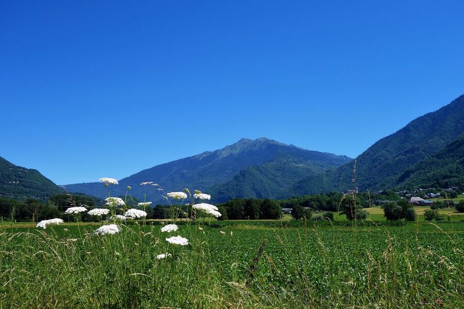
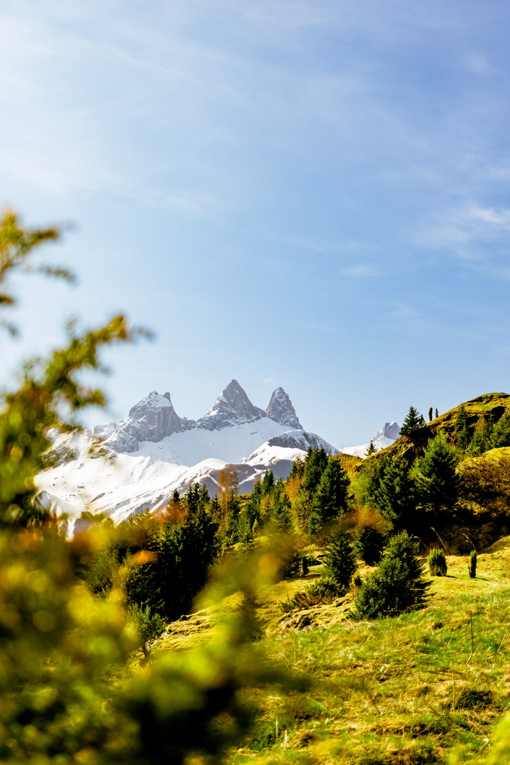
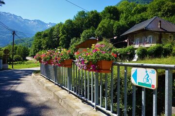
This route along the valley floor allows you to uncover some of the unsuspected delights of the Maurienne, with its old, secluded villages, its impressive mountainsides and its quiet minor roads.
Environments
-
In the country
-
Mountain view
Itinerary
-
Distance 61.3km
-
Type of itinerary Aller/retour
-
Elevation gain 785m
-
Elevation drop 367m
-
Duration 04h00
-
Marked trail Yes
-
Highest altitude 710m
Opening time
All year round.
Subject to favorable snow and weather conditions.


